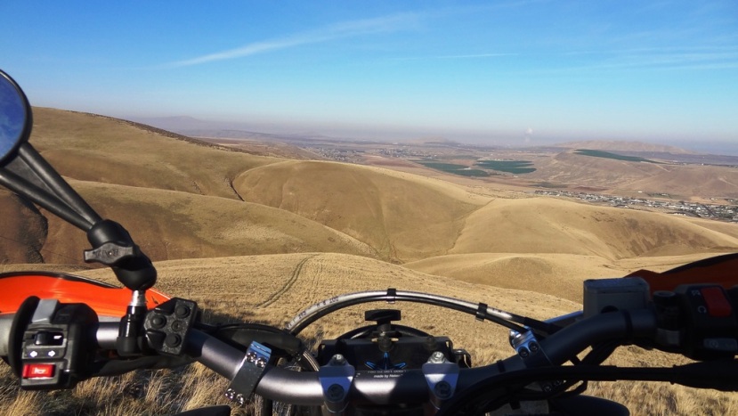
Well, this morning, Shane, KatoomVictim, hoffnasty, and myself gathered at 0530 and headed out for parts unknown. Well, not really, up over the Colockum and into Ellensburg for breakfast. Started out brisk, but we all knew it was going to be a scorcher by the afternoon, so we were happy to head out early.
This first shot is from what is known as 4 corners, at the top of the Colockum.
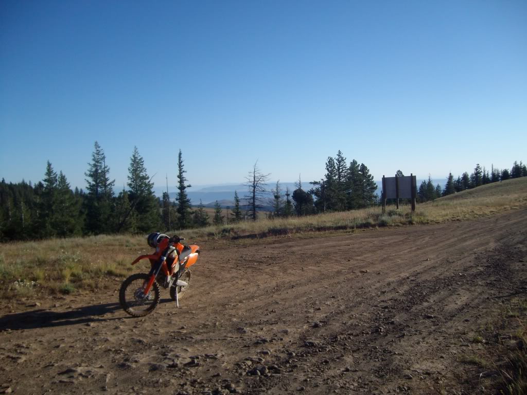
This is just up the road a bit from the 4 corners. Shane in early
morning sunlight.

This is a monument telling about the area, and the original owners of the property.

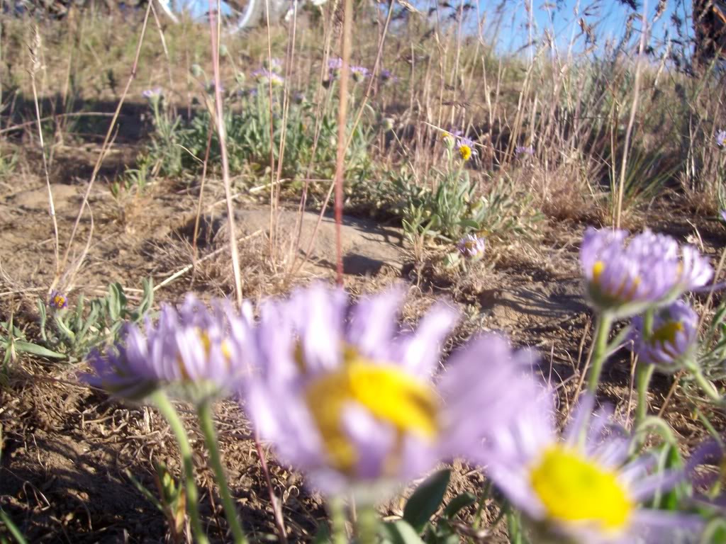
Some local fauna, by the monument.
For reasons unknown, I did not take any more pictures on the way down into Ellensburg, or of breakfast. Needless to say, there was some toast, and biscuits and gravy, and a very large chicken fried steak that was consumed single-handedly by one of our intrepid adventurers, who shall remain nameless.
We decided that we did not want to travel back on the same route we came in on, so we headed the 20 or so miles up the highway to Liberty, where we could then get on FS 9712 that would take us all the way back to Beehive area.
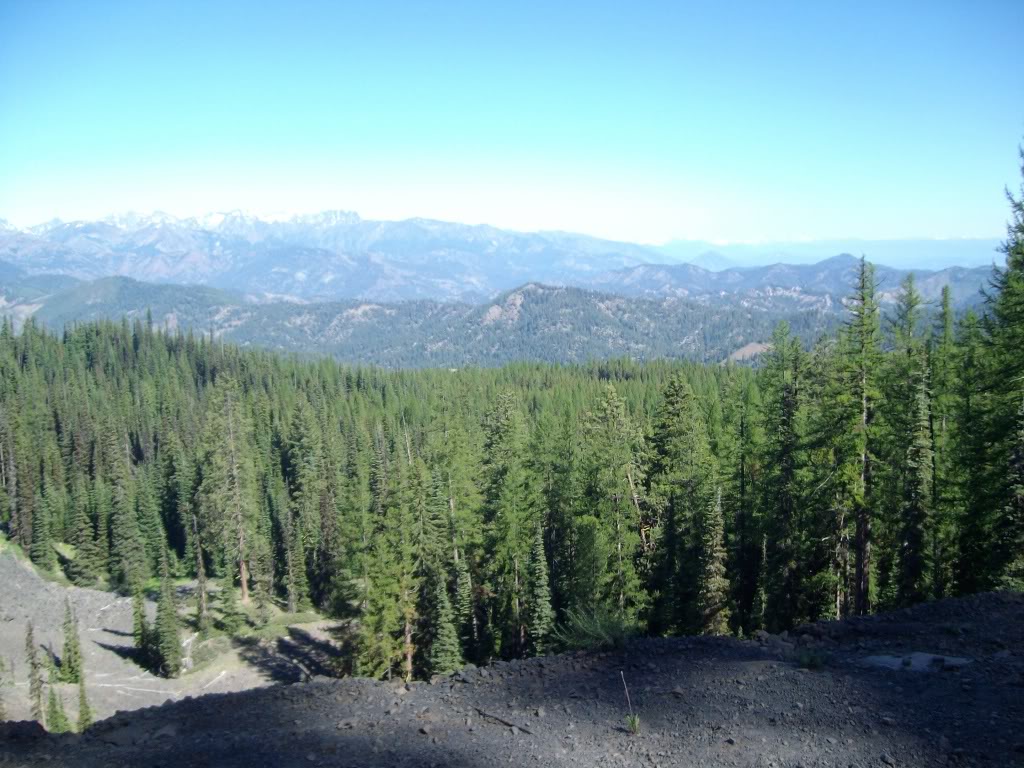
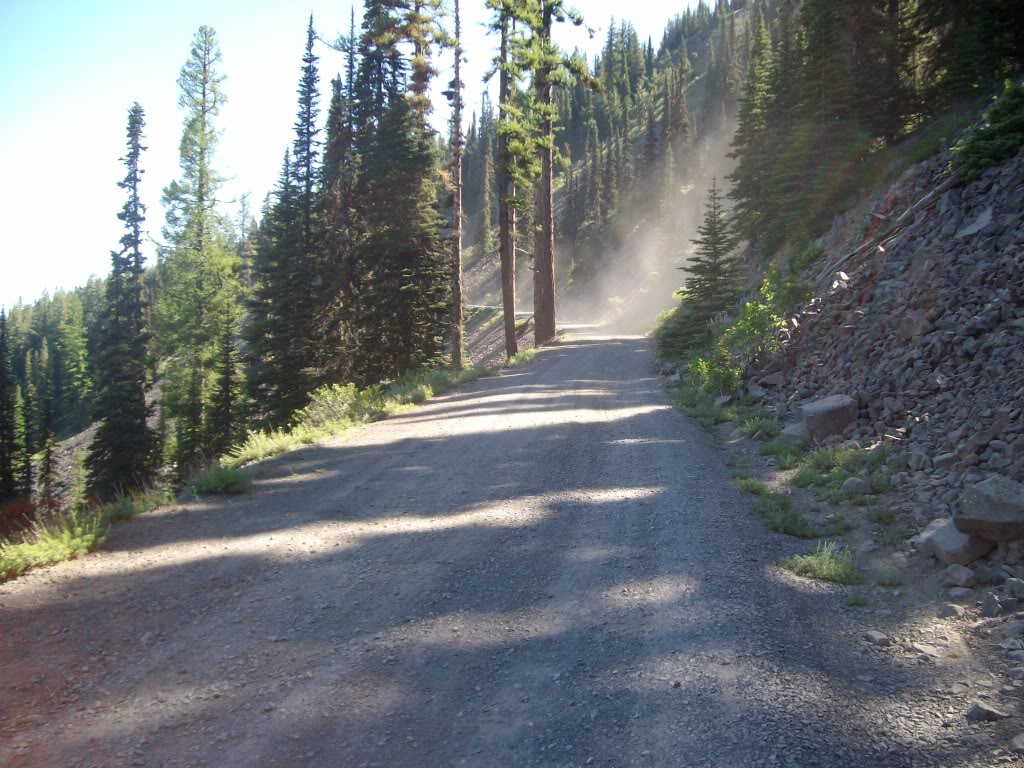
This shot is towards the top, just past a huge basalt rockslide area. Looking North, HWY 97 is in the trees about the middle of the shot.
Same spot, just catching the dust of the guys out in front.
Intersection. To the left, Lion's Rock, to the right, Haney Meadow. Right we go.
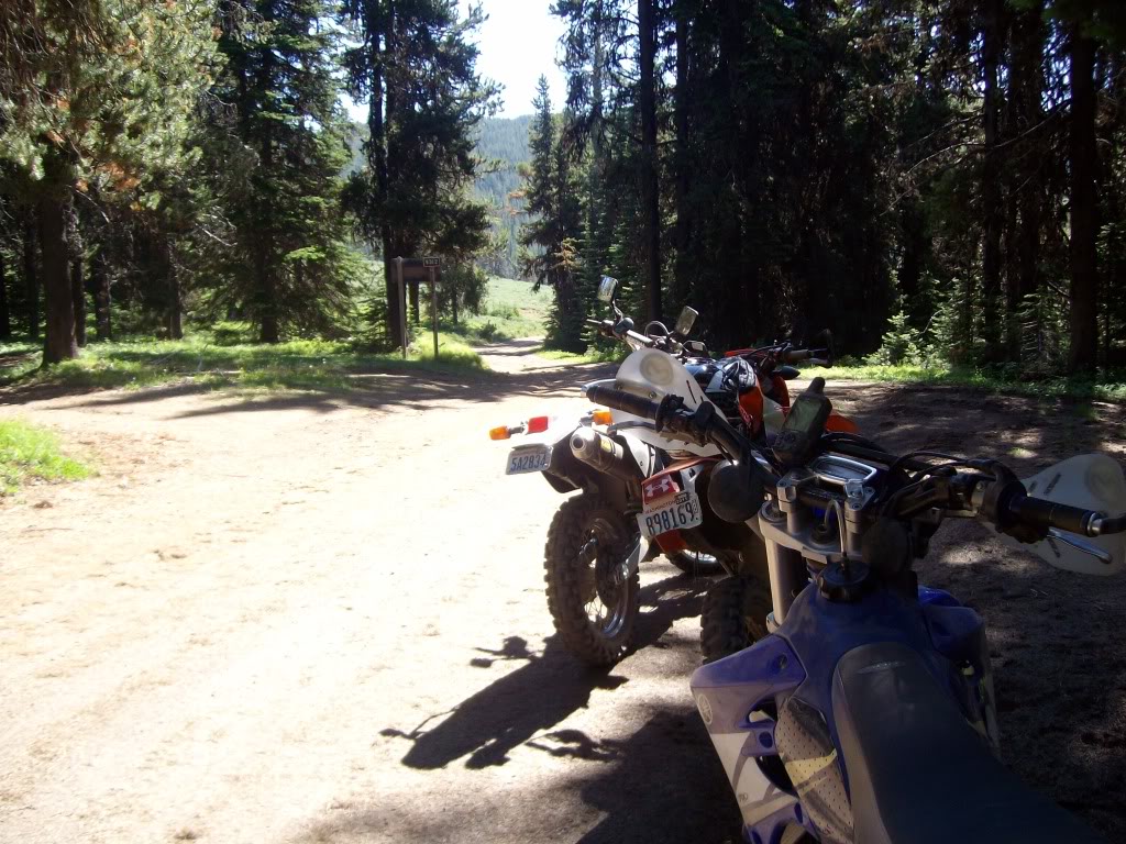
Shot of the trail, and my instruments. i would be lost without them....

This is a little log cabin that was built in 1933 by a couple guys that used to ride in on horseback to go hunting. It was such a well built structure, the FS decided to leave it there. Its kind of run down now, but good enough in an emergency.
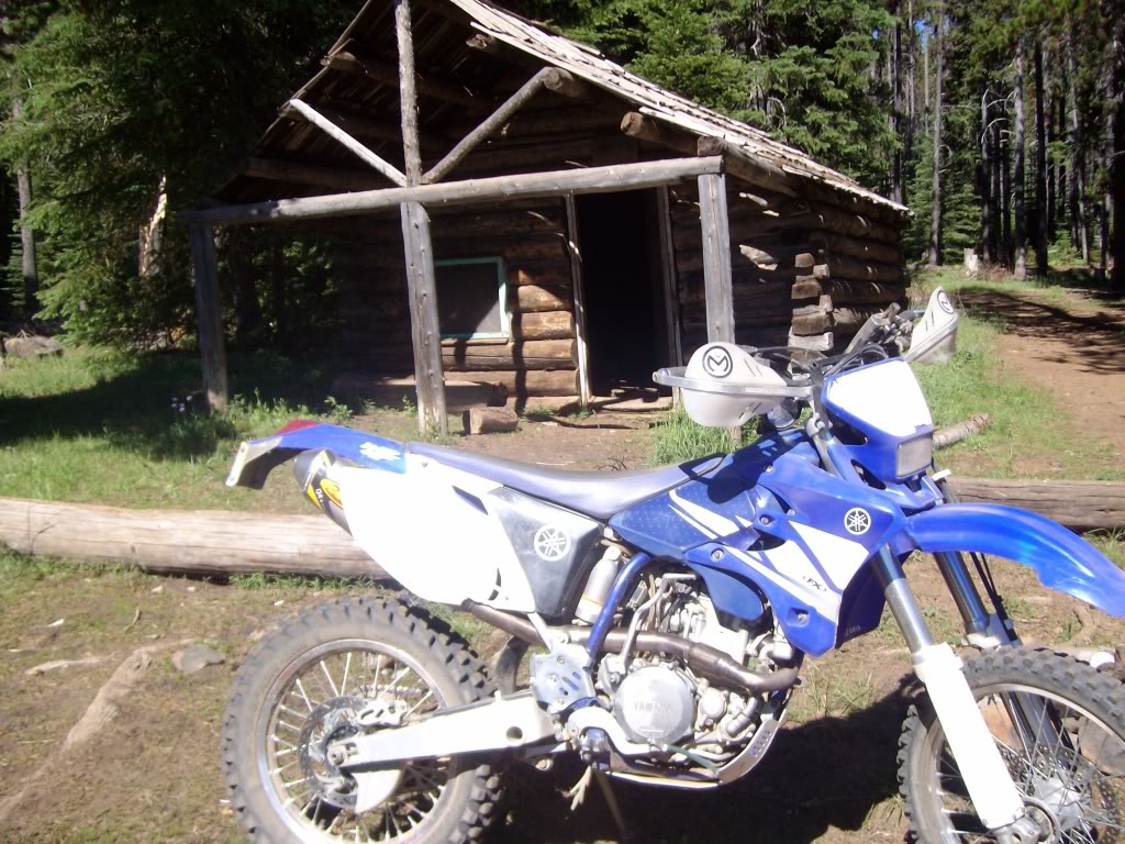
Mine and hoffnasty's in front of cabin.

Shane and Katoom's to my left.
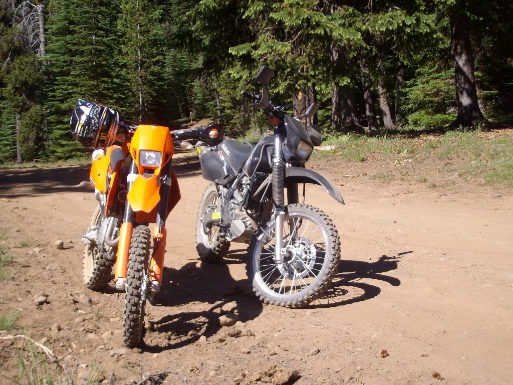
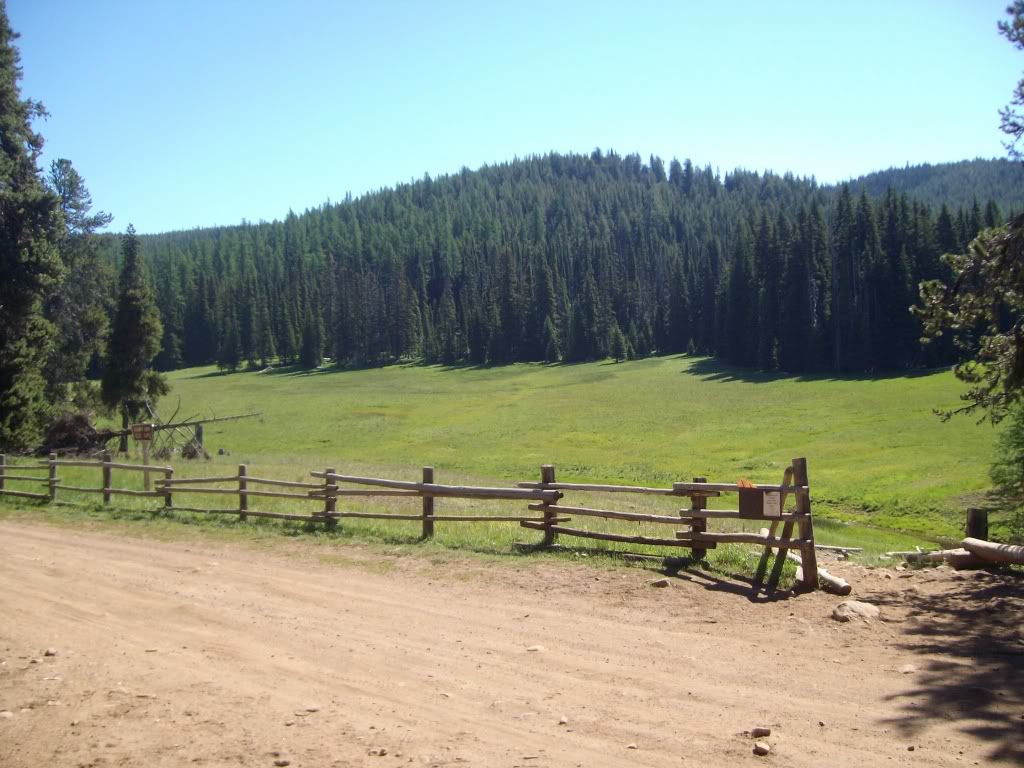
And, Haney Meadow. Lots of elk cruise through here.
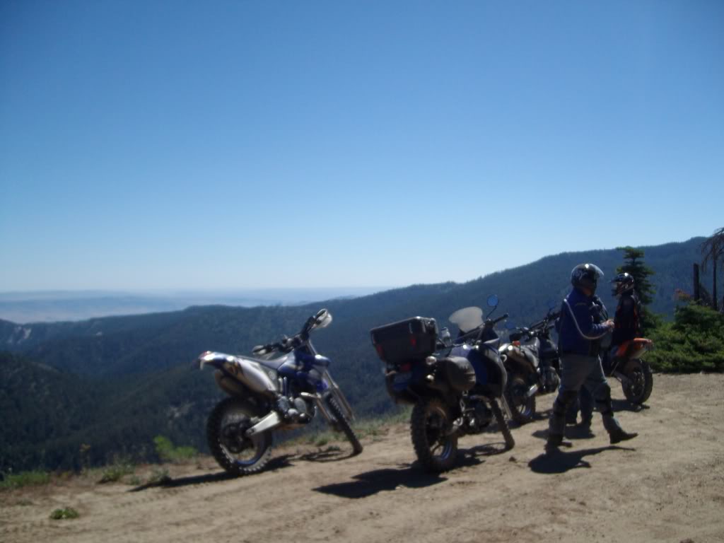
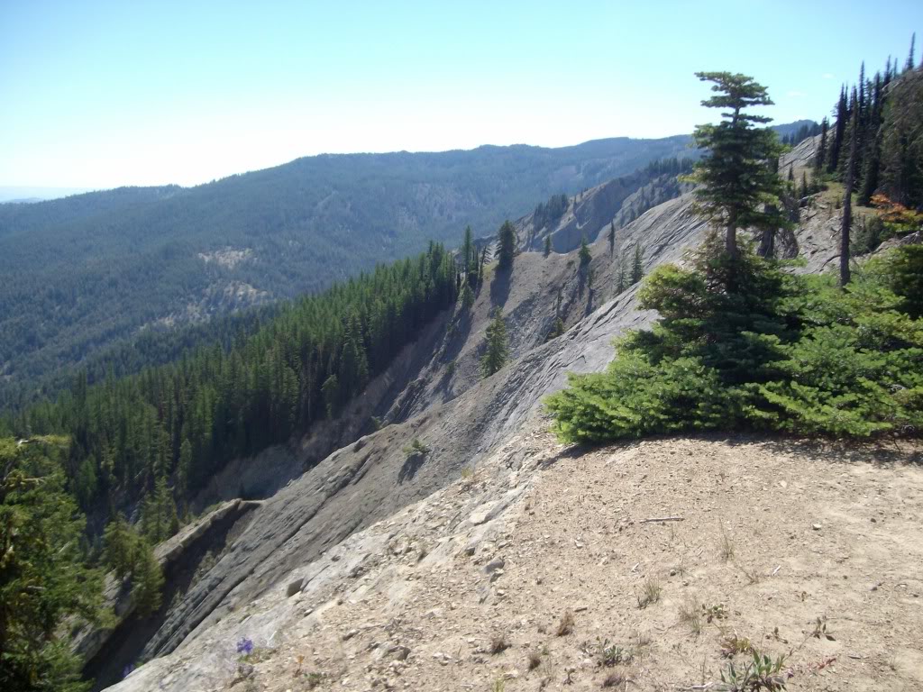
The group checking out the view, and a wild rock formation.
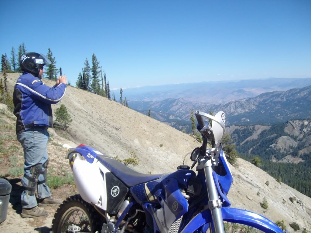
Same spot looking North East. South end of Wenatchee is down there somewhere.

Hoff checking out the view. You can see some of the rock formation below.
This is looking down on that rock formation. It goes down much further than you can see in the photo.
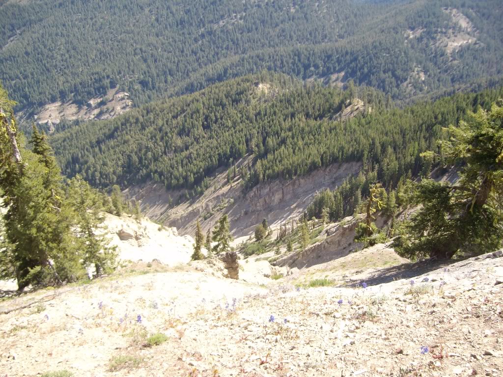
Another shot of the area. It is huge, and goes down super deep. You do not want to slip here.
And from there, we bee-lined home, because it was getting HOT! So, no more pictures. In all, about 130 miles covered, large quantities of breakfast grub consumed, and lots of dust. We had a great time.
