As the kids finished hunting for eggs...I began my hunt for adventure! My Easter present to myself was the gift of 2 hour and 40 minute joyride SE of Bend.
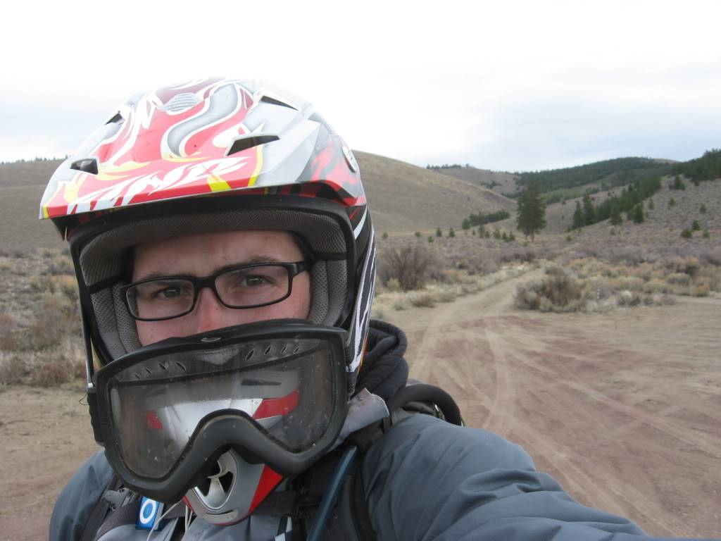
It all started with a cheesy self-portrait.

I zig-zagged through the hood and down Hamby/Ward/Gosney to Ford road. I don't know what it was but Ford Rd was extra delicious today. It was plenty dusty and rocky as usual but, I was railin' it today!
My obligatory bald-ass tree on Ford Rd pic...

Off to Horse Ridge...

Or maybe not?! WTF? It's over boys!


Ain't that some shit. I rolled around Horse Ridge to the south took a pic of some cows and more open space up for sale to someone to put a fence around.


The one good thing about the ride was that Pine Mt was open! When you see 2000+ vertical feet in front of you, there's no choice but to go up!

Here we go!

As I climb the road (just south of the cattle guard on Rd23), I see some ST to my left. It could be man-made...It could be cow. After 1/4 mile of running into trees and dragging my feet through the brush, I realized it was cow. It led me back to the road anyhoo.

The road as it climbs the mountain...

Some shots from that spot...
NE toward no closed Horse Ridge

SW toward China Hat and East Butte

West toward the Paulina Mtns and Newberry

Here's the little road everybody love to climb off of Rd23 and trail 40

Finally on top!

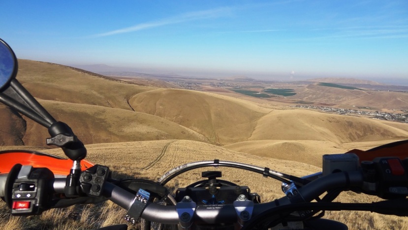
Looking NE. You can see the Millican Valley in the background

Once on top, I skirted the ridge and rocked this li'l ST...

It got gnarly (rocks) and I took a turn toward this rain catching device...

As you can see, it gets a little snowy up there. I saw some other knobby tracks up there. You can see them crossing in front of the cistern in the previous pic.


It wasn't looking too bad so, I was gonna try to get to the main road to the observatory.

WRONG! That one almost sent me over the bars!
AT this point I decided not to get myself into any more trouble and follow the other bike tracks down the hill.

Down the sandy hill climb. Still sandy!

Kitty tracks?

Off the mountain.
Road 23 is not red anymore!

From Pine Mt I took a road just west of 2316 that got me away from the crazy dust lady of Evan's Well and got me onto EFR trails 16, 17 then 10. A ways down trail 10 I started to surge and sputter. Shit. I was out of gas. This was my first time testing reserve on the IMS. Here goes nothing! I headed north to get to hwy 20. If I ran out of gas, I'd be easy to get to.
Saw some deer!

As I hit the Horse Ridge frontage road (aka old Hwy 20), I stop for a photo or two. GET THAT GAS!
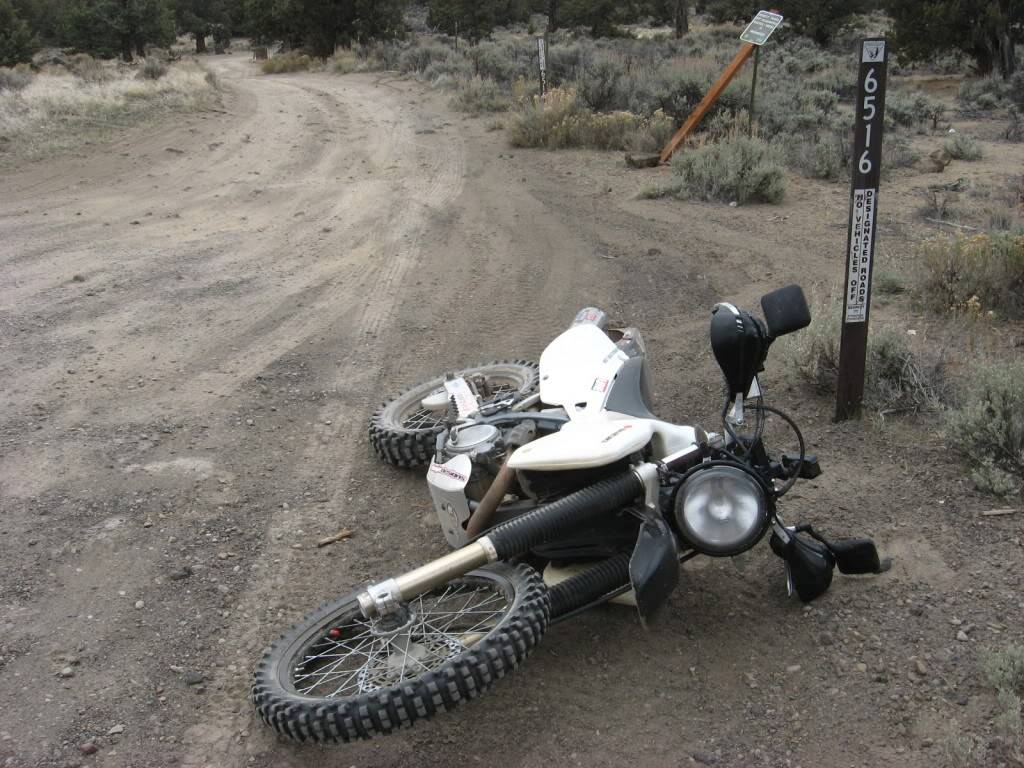
The old hwy...

Along hwy 20, I stop at the scales. Damn. Someone unplugged it!

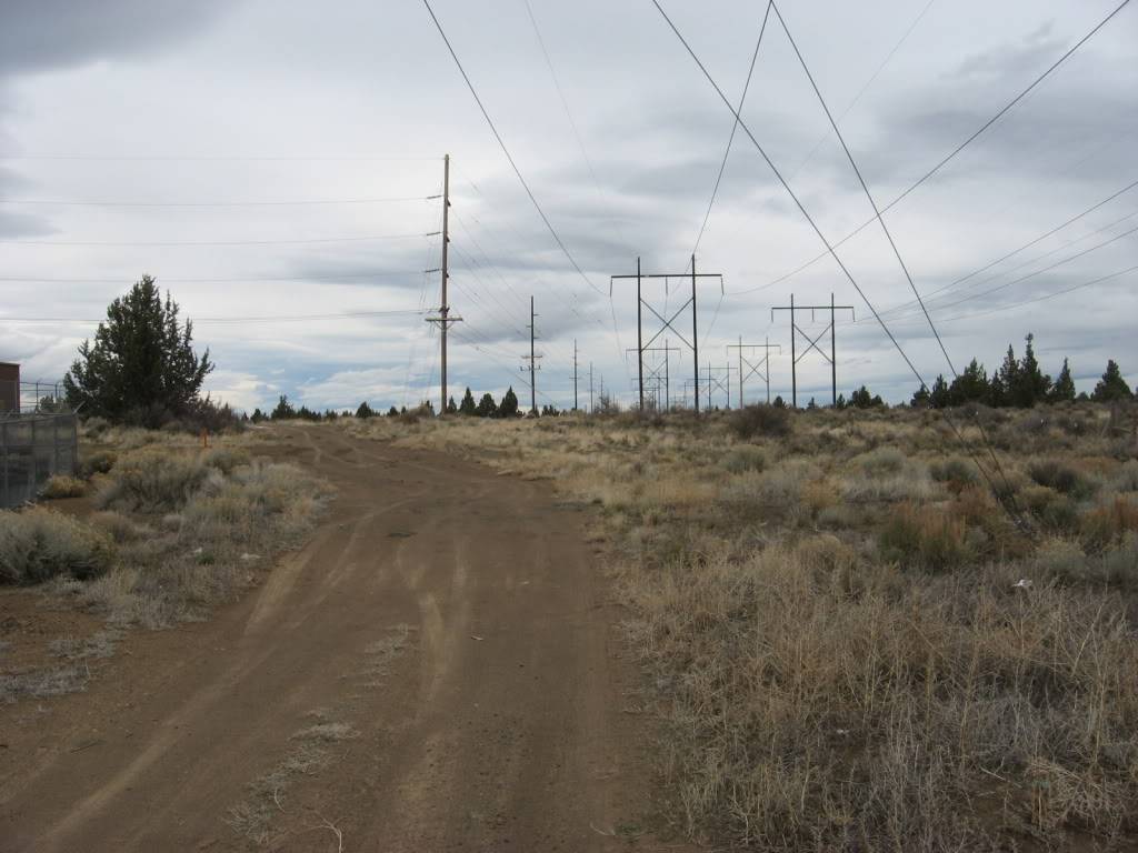
Still successfully running on reserve, I attempt the powerline from 20 up to Neff. It was a success!
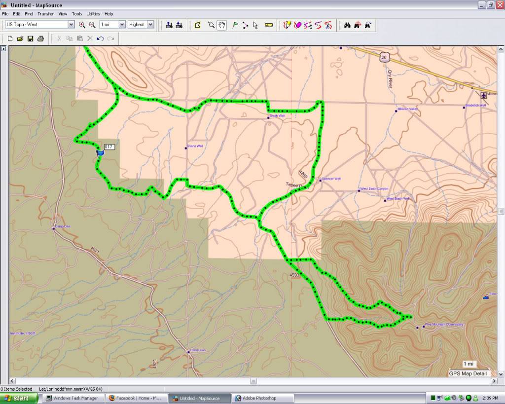
Maps and stuff. Waypoint #17 is where I went to reserve along trail 10.
69 miles
2h 4m moving time
35m stopped
6188 max elevation!
Good ass time!

