Anyway, took a pic of the car as the bike was warming up. It was about 31deg as I left for Reiter this morning.

Wanted to do the Index Wall thingy, but wasn't sure about the map i had. Found a couple of roads when I got out there, but they either ended up in rock-crawl territory or didn't go the way i wanted (or thought i wanted).


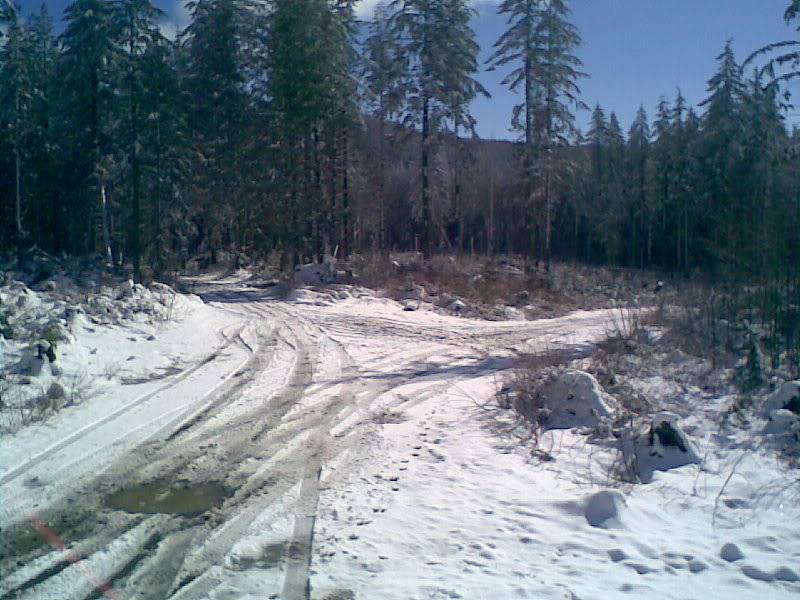
Followed that one and came to this. Could have kept going up the hill, but didn't think that's where I wanted to go. Turns out I could have done that i think.

First puddle I came to. Crossed with no problem.

Didn't take any pics of me getting lost on the asphalt road I came to. Got all turned around until I finally realized I needed to go further up it. Finally found the NF road and really started getting up in elevation.
Few random pics of snow and riding conditions.


Creek crossing that is only a couple inches deep and a log damn/earth barrier. Easy going.


There where lots of puddle crossings, but this was the longest and deepest. Wasn't too bad until the middle and then along with the water there must have been a couple inches of mud under it.

Kept going until it got hard to make out the trail. Rough going. Some spots had to go around fallen trees. For some reason no pic of said tree. Don't know what happened.

Trail seemed to dead end at this cliff/very steep valley.

Looked around but couldn't find the trail in all the snow. Wasn't until I turned around and got back down to the bottom when I figured out, that was probably the end. I was supposed to hike up the last bit. doh. Next time.
Road home, took a couple of detours looking for a perticular road (that I didn't find). Legs and feet where freezing when I got back. Started to take off my clothes when I found this little guy after he fell of my sock.

Lastly. When I was at the Very top, I hit the save button on the GPS, so I could figure out where I was and get a pic of that also. As it turned out, i needed to hit the save button twice and didn't. No proof I actually made it anywhere!!
Good tiimes!
