This has got to be one of my worst planned trips. I like to thank my wife for that one. Less then a weeks notice and even up till the day before we left, still wasn't sure if I was riding or taking the car. Got my bike up and running with all my gear ready the morning I was to leave. Printed up a map with turn by turn directions the night before at work. Go time.
Left the house at about 1030hours. Heading up SR2 when I rememberd the old highway off to the side. Actually passed it and turned around to take it. Wasn't on my map, but any side trip was welcome.
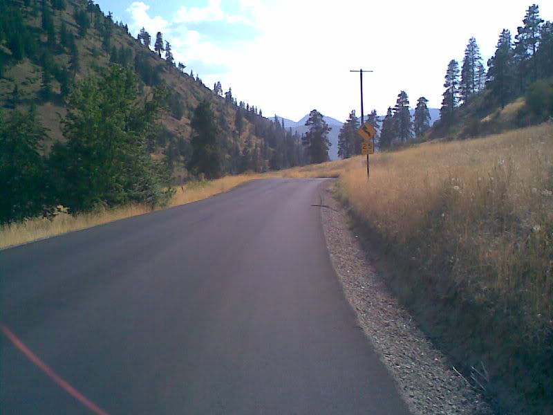
First stop of the day was at the begining of "Old Cascade Hwy" Fun little road that is near perfect for a tard. Only problem is it's almost a one lane. Have to be careful on the corners.
Creek runs along most of it. I actually wasn't sure if it was a one-way and I was going the wrong way. Saw a couple of signs so figured I was ok
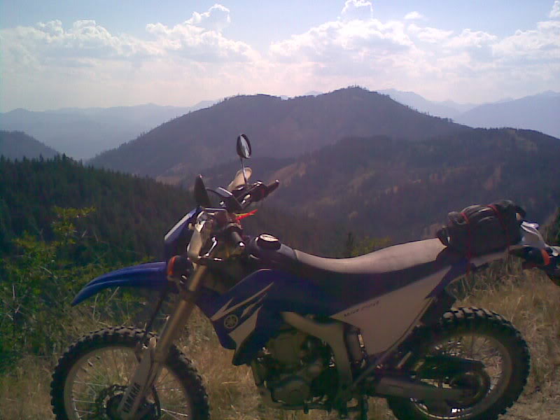
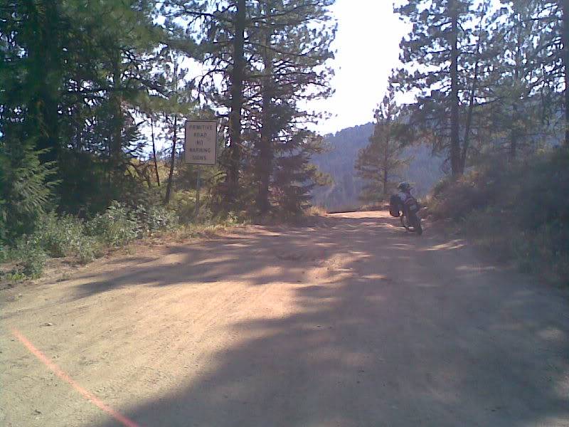
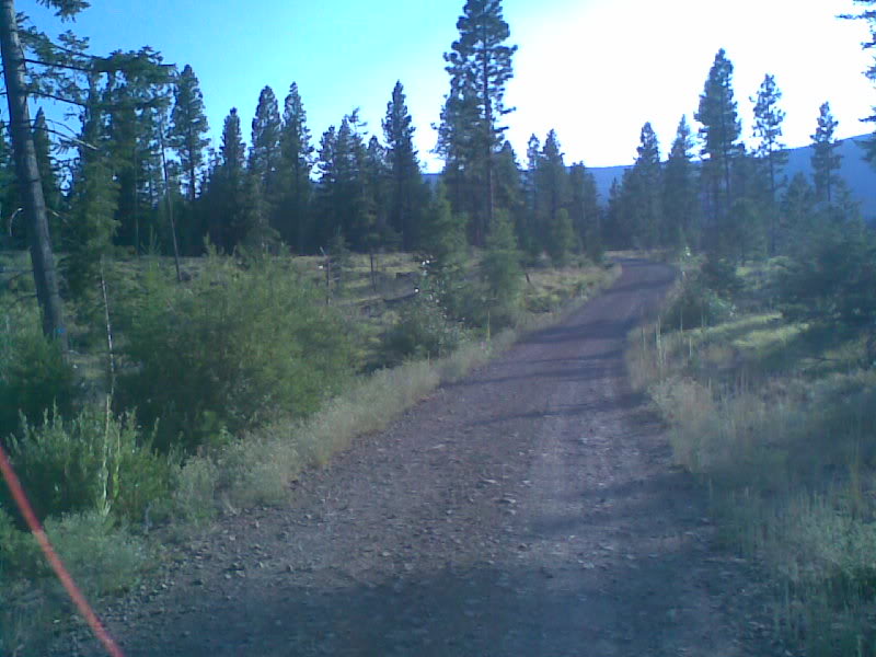
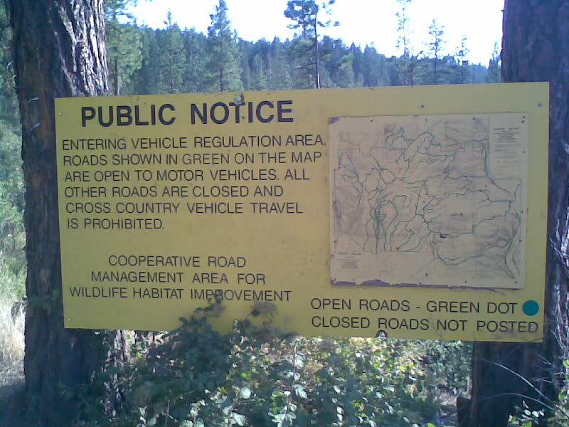
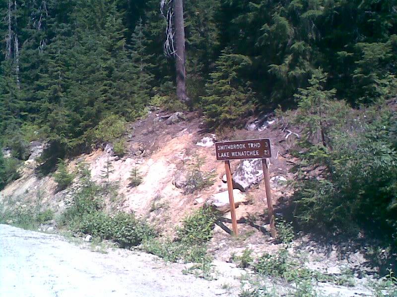
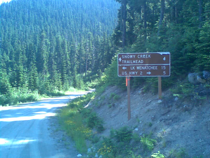
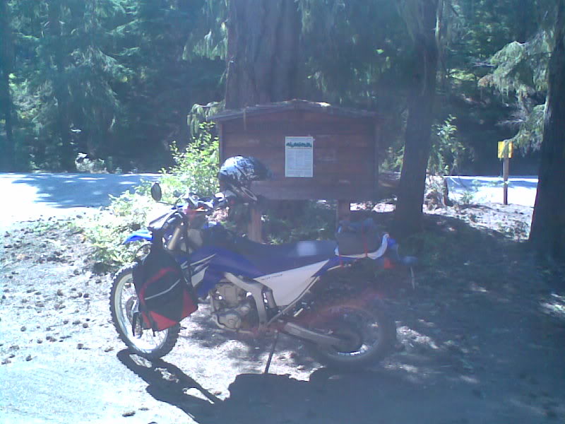
First dirt road was after the pass. Luckily I saw it on street views and knew where to look. As I was cruising along looking for the turnoff, I spied a police officer parked right after my turn. It was kind of funny slowing down as quickly as I could to make the turn. Really surprised the cop didn't back up and come after me cause even to me it seemed as thou I was running from him. Anyway sign at the trail head.
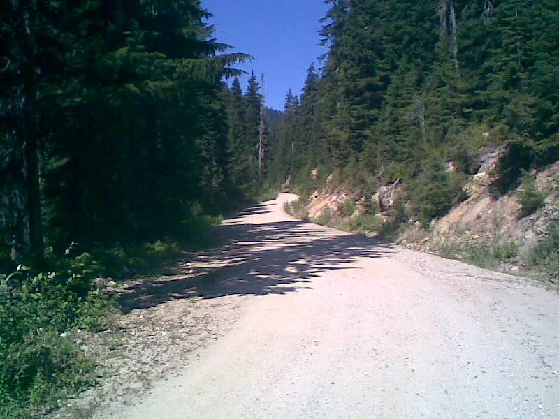
Had know idea what to expect. Turns out everything was pretty mellow.
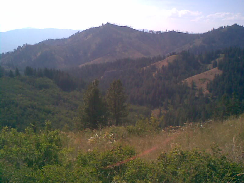
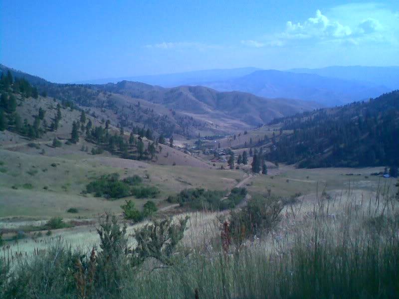
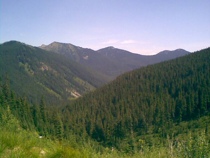
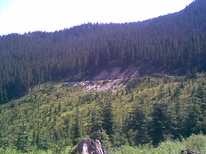
A lot of the pictures look the same because it was just vallies of trees everywhere you looked.
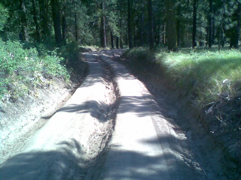
I tried really hard to take a picture of every trail sign, didn't always work though.
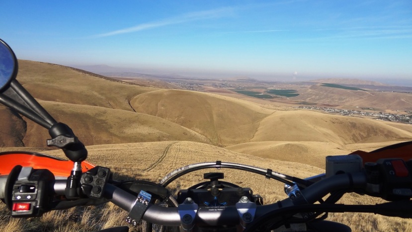
I think you can see the road i need to take way down there.
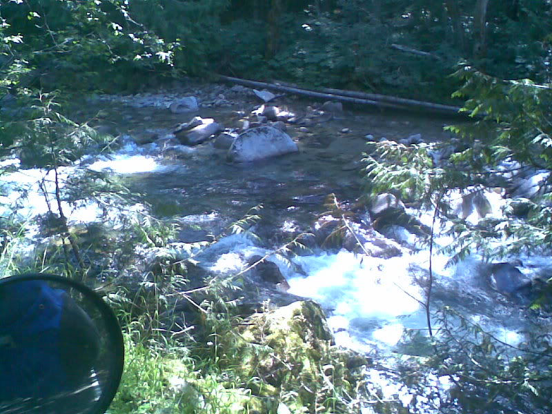
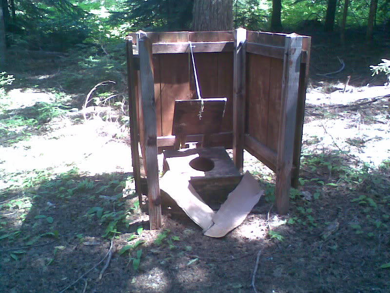
Crossed a few little bridges, no pics. Decided to pull off in a little secluded spot and take a break and look around. Turned out to be a really cool little camping spot. The only really big problem is I was attacked by deerflies. Never knew what they where until this point. Man they are worse then mosquitos!!
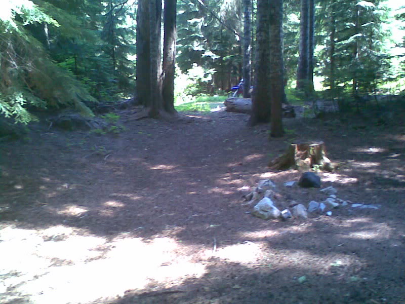
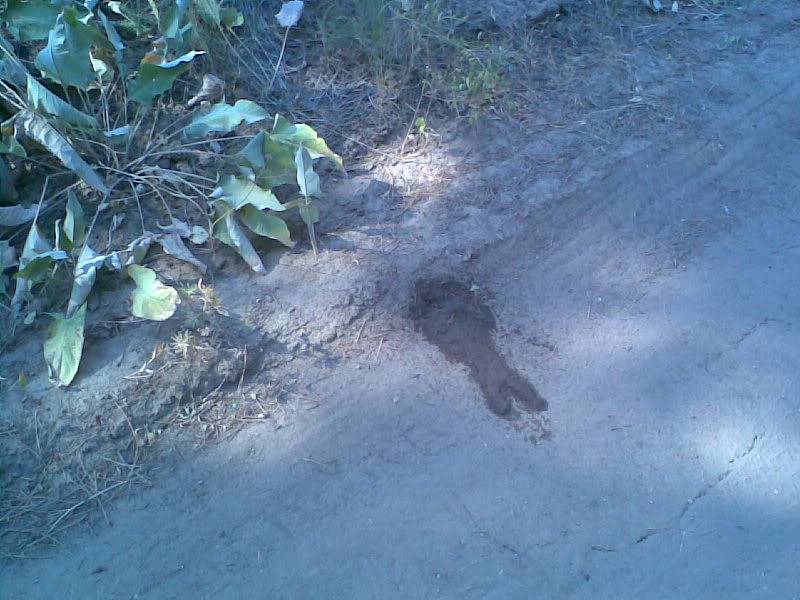
The place even had a semi-private toilet. LOL. Check out the home-made ass-gasket. No, i didn't use it.
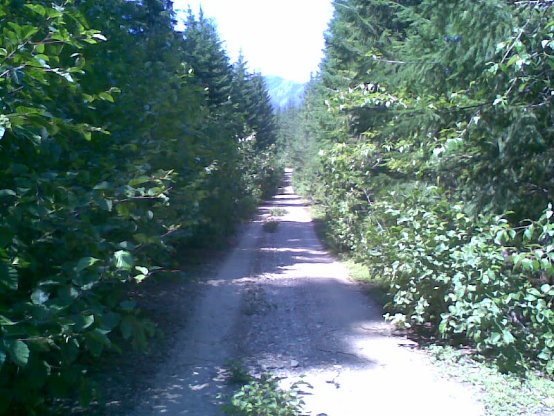
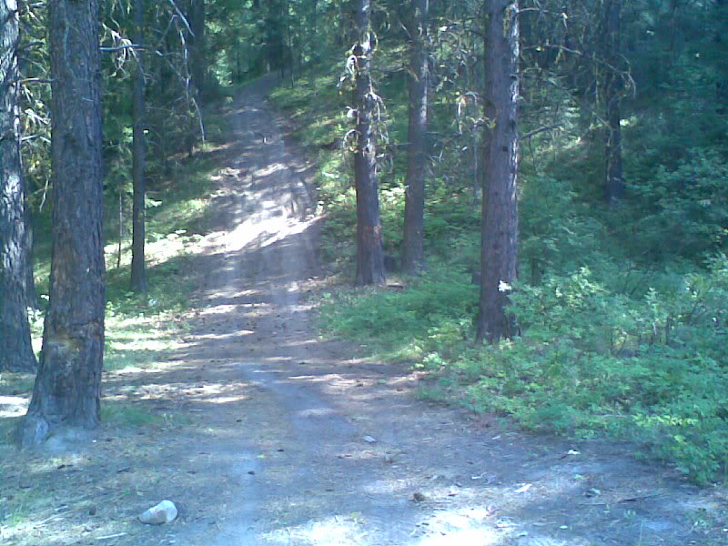
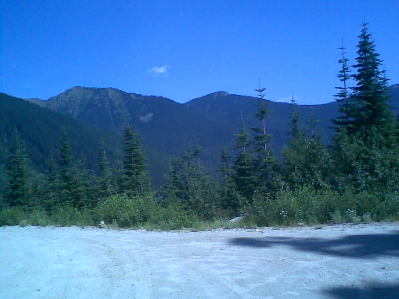
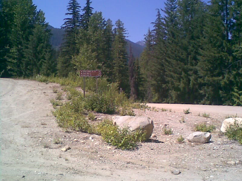
Heres another road sign that you can't see. Don't know what happened but went down the wrong way. I think what messed me up is my maps....no, upon futher review my maps look ok, must have been me.
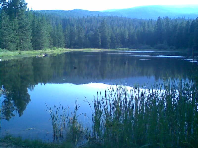
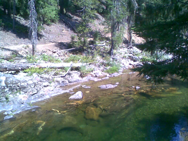
Pulled off again at a nice camping spot, (yes, still going the wrong way). Creek ran right behind it. Really a sweet spot because of the lazy creek that was deep in a few spot.
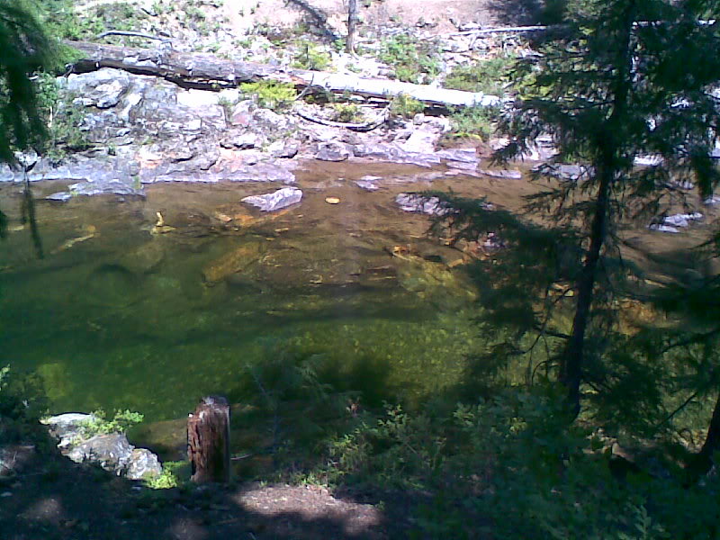
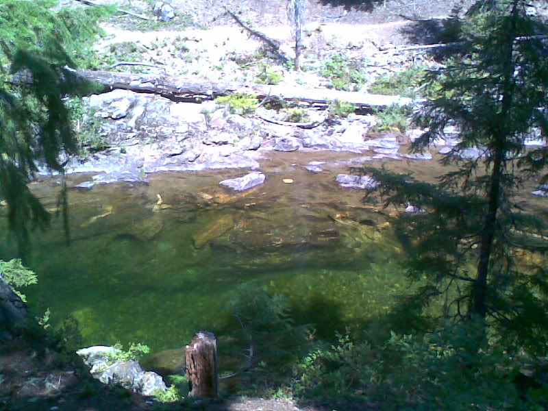
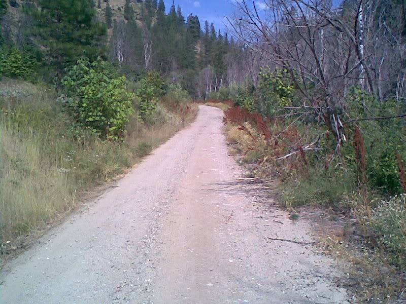
You can see a trail on the other side that would be sweet to take a bike on, must be a hiking trail thou
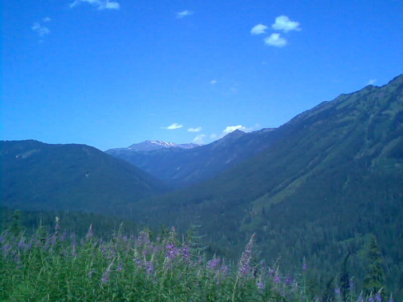
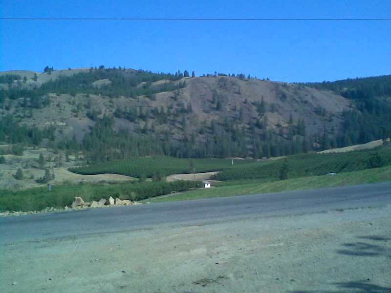
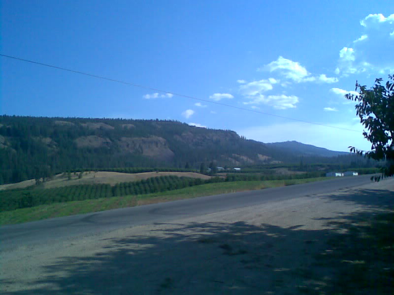
I think all this first part is in the Wenatchee National Forst.
Lunch time since I was stopped. Luckily I did because the ice bag had melted and warmed up in the 2 1/2 hours I had been riding. Cheese started to melt. For some reason I didn't have any ham (thnx wifey)

Can you see my little buddy in this pic? Me neither try the second one.
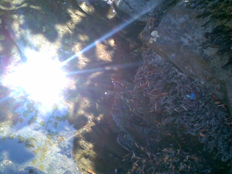
This was my bathing mate. Since I didn't have a cooling vest, i dunked my head and shirt in the water. (worked for a few minutes to keep my cool while riding)

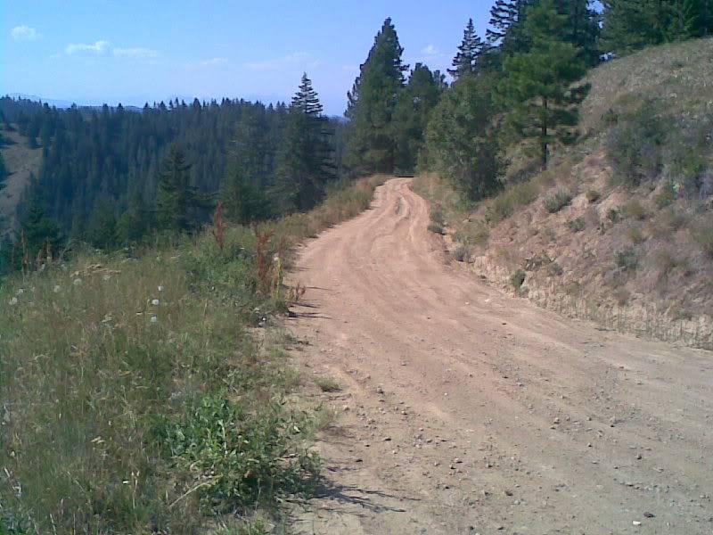
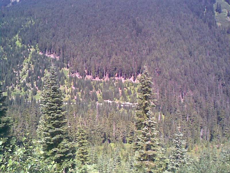
Alright, by this picture, things where starting to look funny, like maybe this wasn't right. Turned on my GPS to verify and it said keep going so I did.
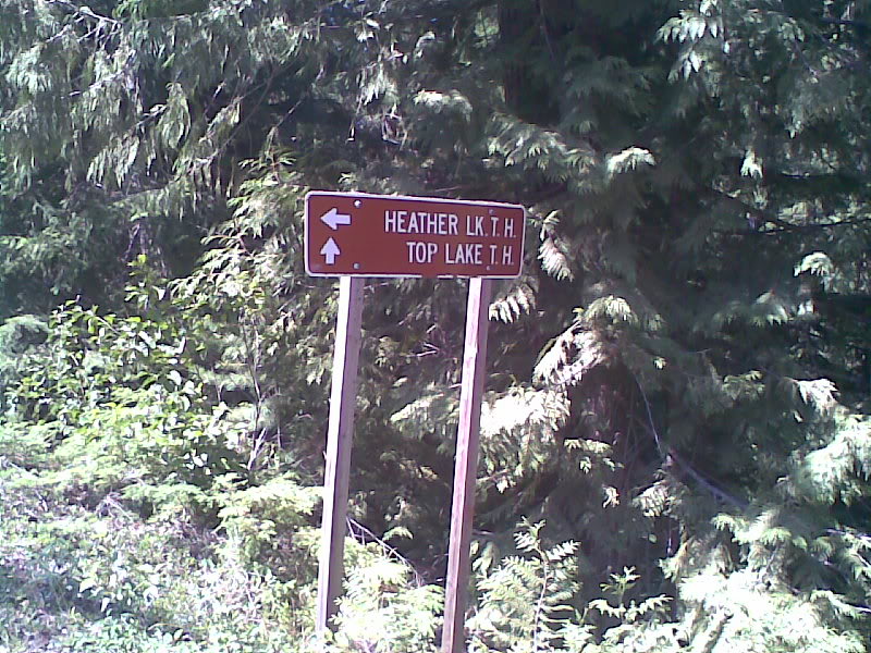
The GPS said go straight which was Top Lake T.H. and it looked like this.........