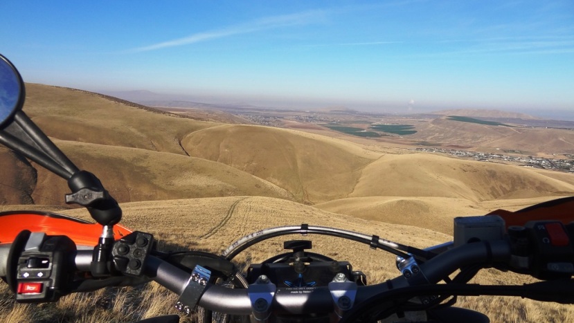
5-29-10...Day 4We woke up early, loaded the bikes and headed out. We filled up in Yerington:
Bike took: 1.99 gallons
Total Miles: 425
We hit dirt again shortly out of Yerington. A ways out of Yerington we came across the Flying "M" Ranch. This ranch has a 5500' x 50' paved runway!
Aviation Adventurer Steve Fossett took off from this airport on September 3, 2007 and disappeared in his Super Decathlon. They staged the search out of this airport, but he wasn't found until a hiker found his ID card in the Sierra Mountains on September 29, 2008.
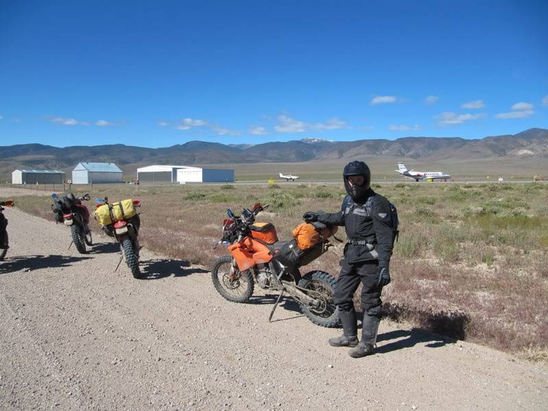
Mark riding his XRR.

Stopping for a snack and soaking in the view!

Mark got a little stuck in this snow drift...it was deep. He hopped off, grabbed the bull by the horns and had it out in no time.


We had to ride around a couple snow banks that hadn't melted yet.
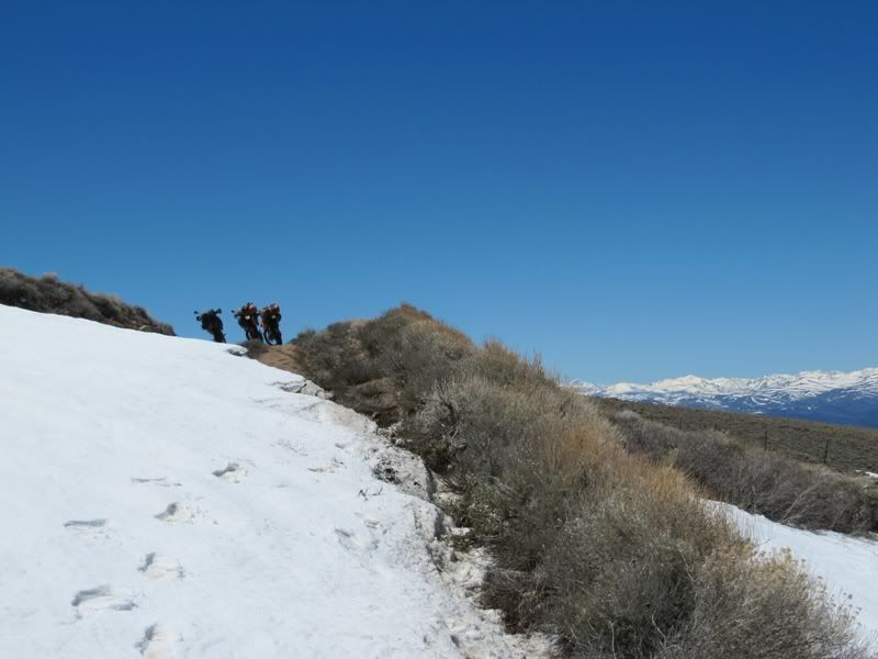
Alan resting on his pig.

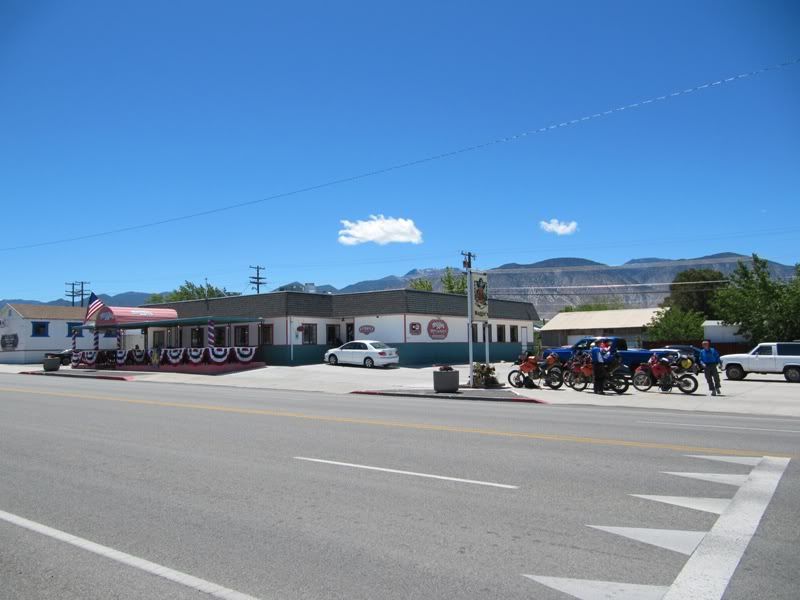
We headed into Hawthorne NV to get some food and fuel. We ate at Maggies, made a few calls home and were back on the road.
Gallons: 1.56
Miles: 499
This canyon was a blast. Here we stopped to shed some of our winter gear...starting to warm up the farther we get south.


Alan and Mark coming down the trail.

This was a common sight along the trip. There isn't a hill in NV without a hole drilled in it. I love exploring mines but in the interest of time we only stopped at mines that had some kind of structures left, equipment etc.
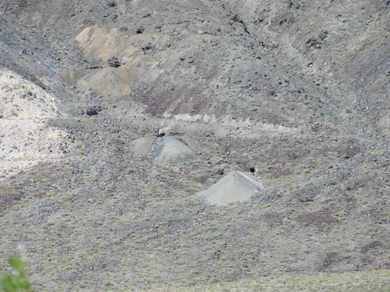
Next we came to the old mining town (ghost town) of Marietta. Marietta was established in 1867 and originally salt was mined here. Then later in 1872 Francis Smith discovered Borax here and this became the center of the worlds borax market. The mining camp of Marietta became an official town in 1877 that had 150 residents. They had a post office, a store and 13 saloons. Smith established Teel's Marsh Borax Company, that later became the Pacific Borax Salt & Soda Company. Borax was mined here until 1890 when richer deposits were found in Death Valley and the town was soon abandoned.
(Information taken from the book "Nevada Trails, Western region")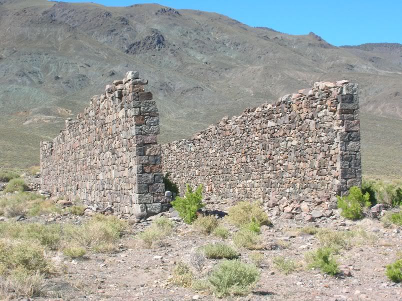
The workmanship of the stones is amazing. I can't imagine how much effort that took back in the 1800's.
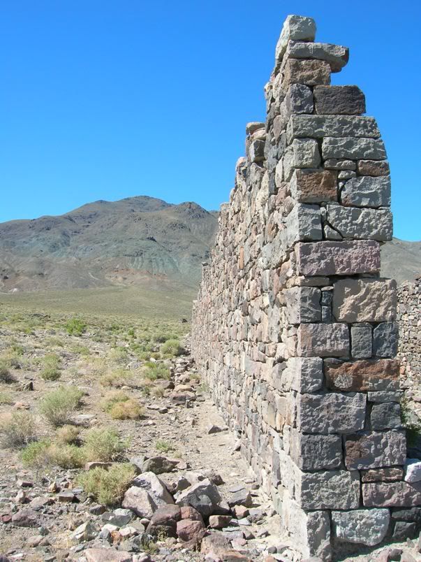
Another decaying structure in Marietta.
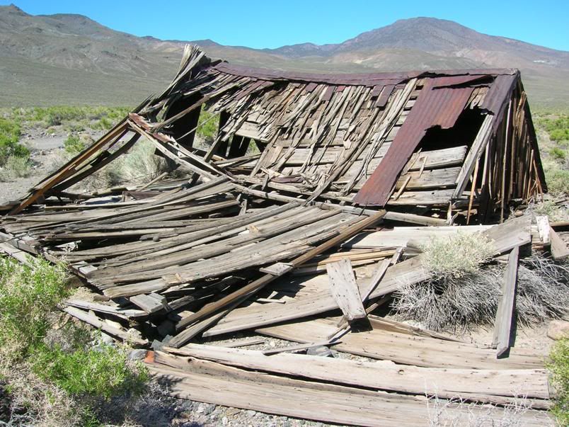
Inside between the two big walls.
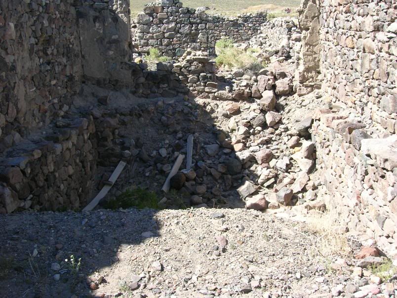


What's left of the old horse stables.
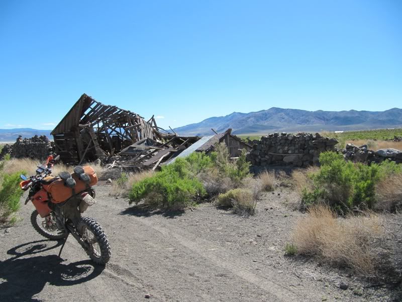
I feel lucky to get to see what's left of these structures while they are still here. I would love to see some pictures of this town back in it's glory days.
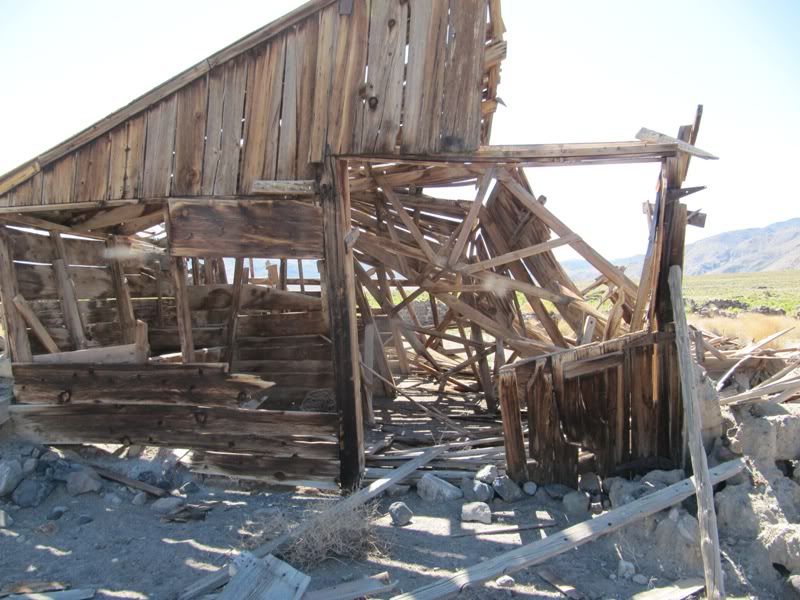
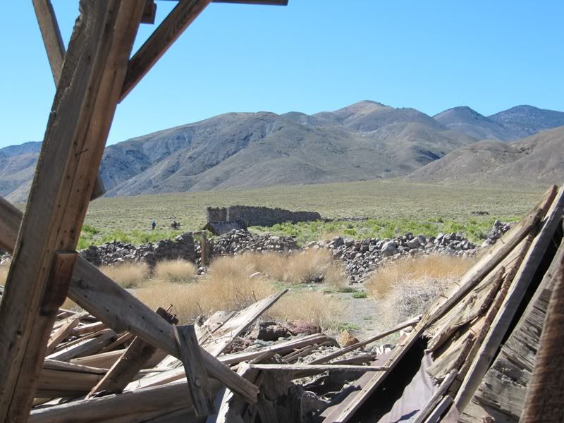
Up above the building relics there are several abandoned mines visible up on the hillside. Alan, Mark and I decided a little side trip was in Order. Off we go. :thumb

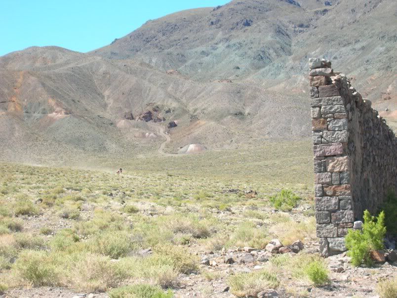
This was the first mine we arrived at. It had several old relics to explore.
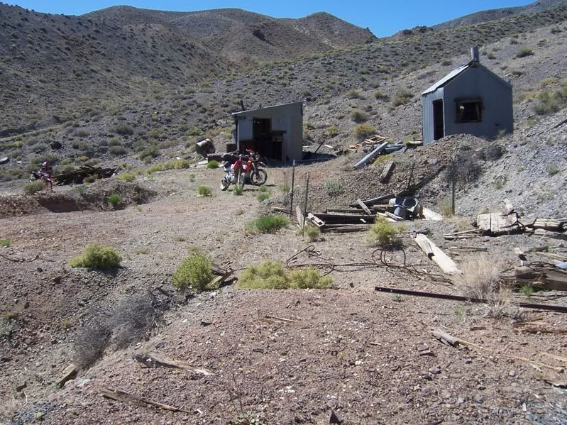
This was the winch shack. It had a winch mounted inside that would pull the ore up out of the mine.
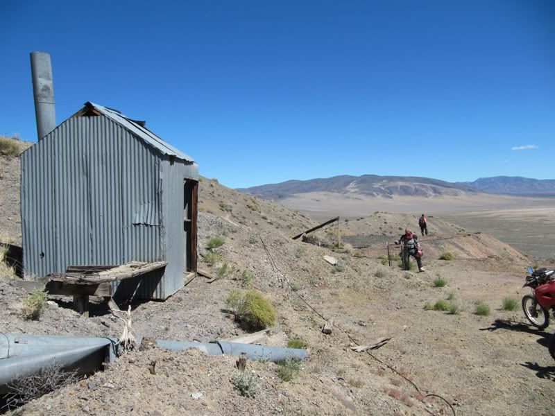
Another angle of the Winch Shack.
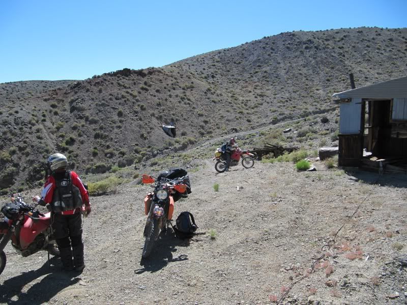
And the concrete winch mounting pad inside the shack.

What's left of the head frame. The winch cable would run up over this structure and then down into the mine.

Here is the mine audit. It's a vertical shaft...I wonder how deep it is?

I held the camera out over the hole for a look inside. Anyone what to test that old wooden ladder? Can you say Dry Rot?

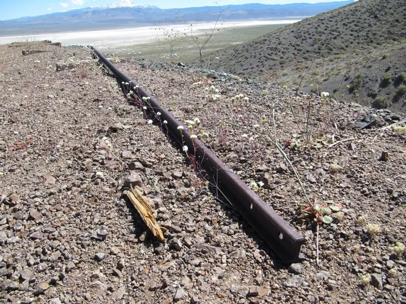
They used a narrow gauge rail system to bring the tailings out in ore carts.

Close up of a piece of narrow gauge track that still remains.
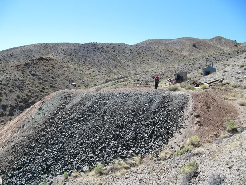
A picture of the tailing pile.
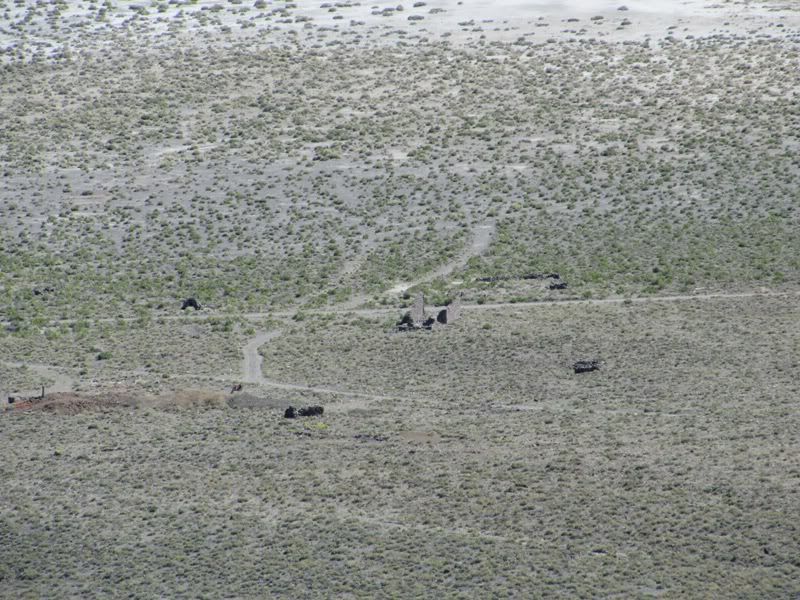
Looking back down on the old town site of Marietta.
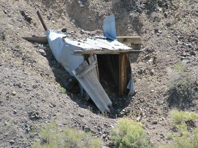
Another audit on the other side of the hill, we didn't hike over to this one.
After checking out this mine Mark headed back down and Alan and I took one more side trip to another mine.
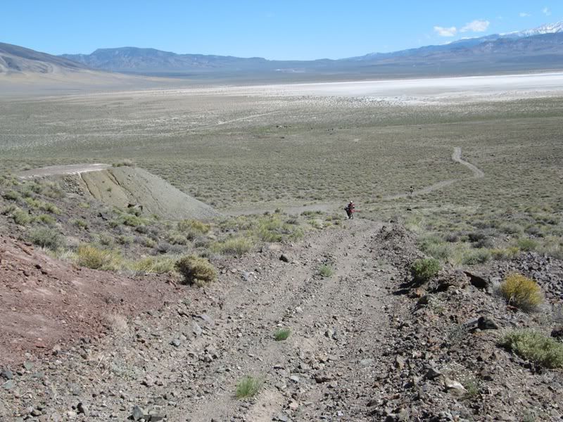
Although the pics don't look it this road was steep and very rocky!


A few hard rock mines to check out here. Not a lot of mining relics here though.

Inside one of the mines.
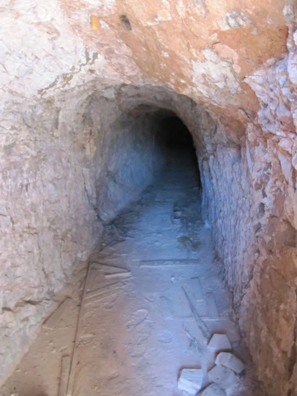
Alan heading inside for a look.
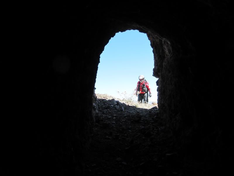
Great Views!

If you look closely you can see the remains of a early airstrip. The frame work for the windsock is still down there!

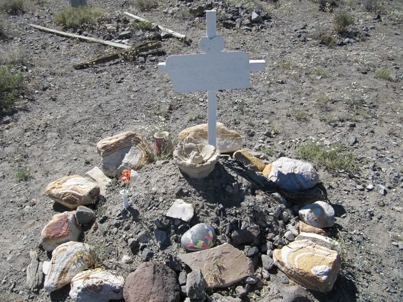
Alan and I headed back down. One the way we noticed the town cemetery and stopped by for a look.

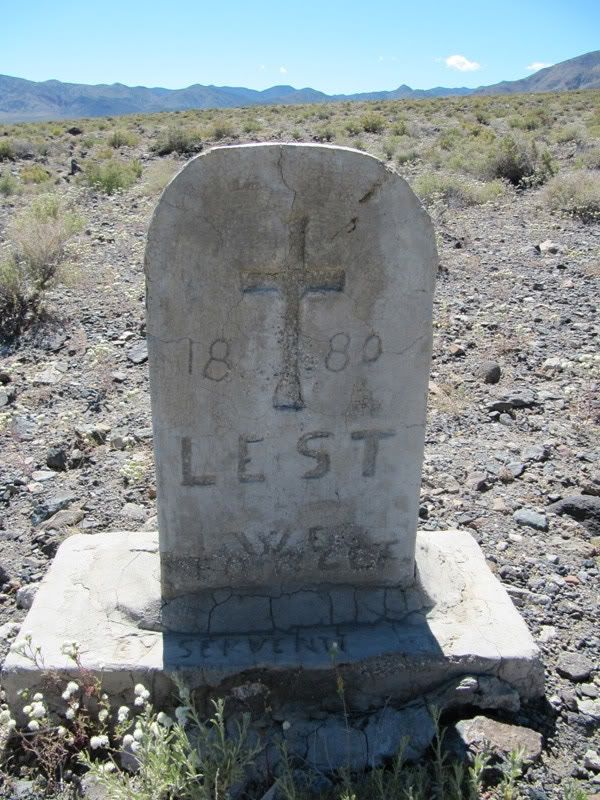
And someone was recently buried here as well!

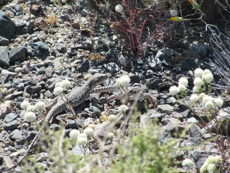
These little guys were everywhere. I took this picture at the cemetery.
We left Marietta and soon came to the old mining ghost town of Belleville.
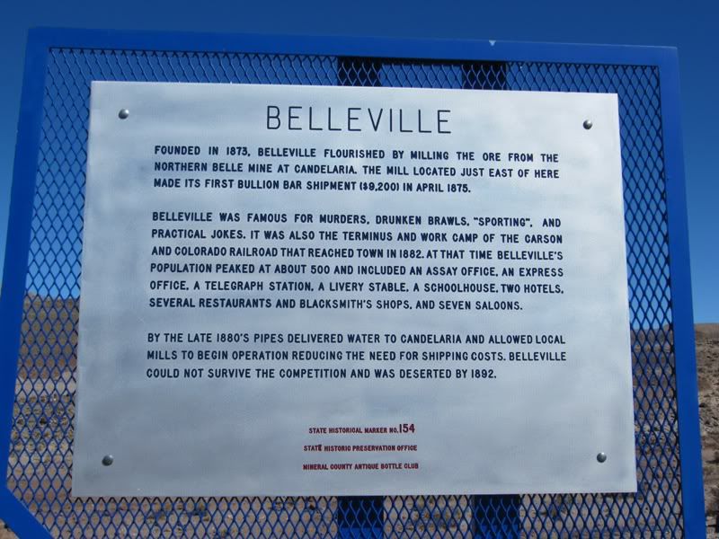
Here are a few pics of the old Belleville town site.
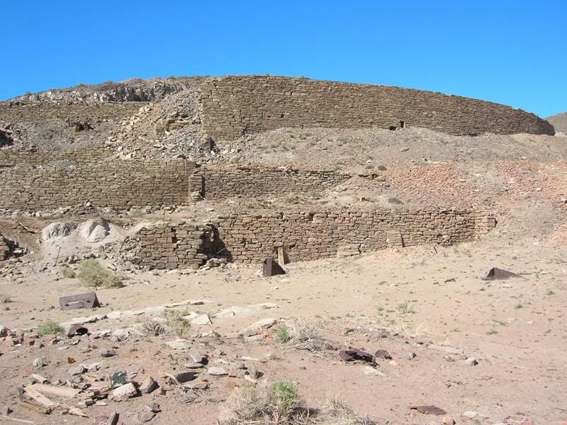

These are the rock walls that remain of the old Mill site.

Remains of a cabin.

Part of the old dump site.
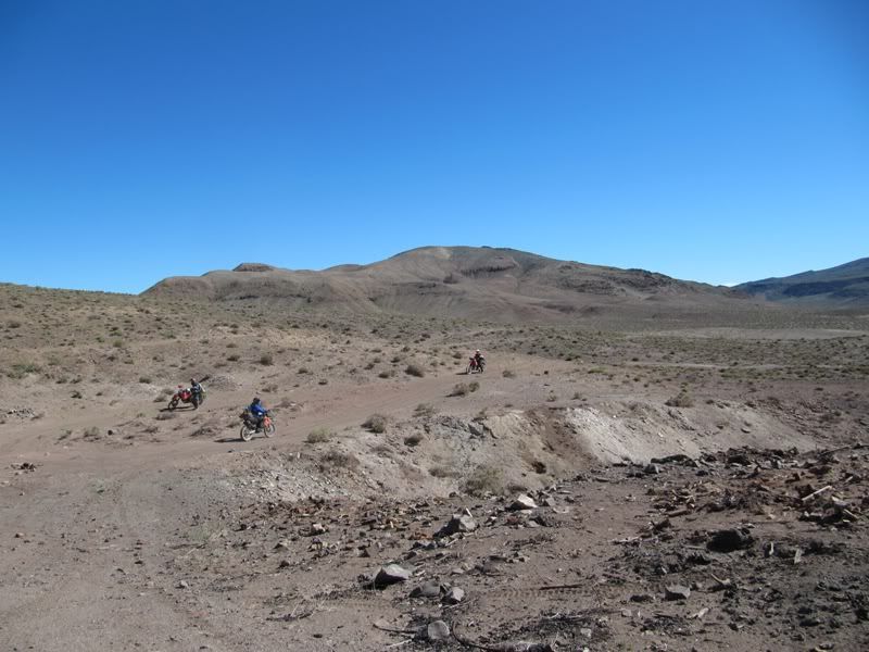
Another rock wall. The effort to build all this back in the 1800's must have been incredible!
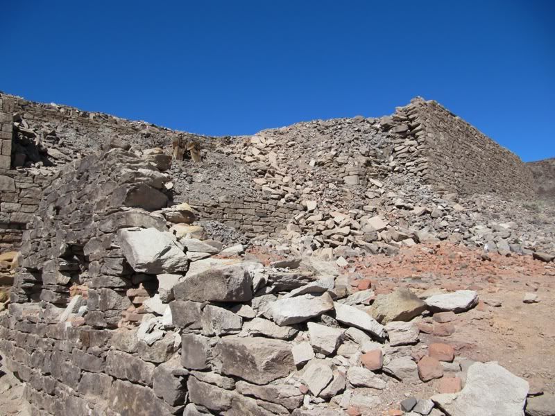
Not a lot of metal remains at the site. This piece was one of the few pieces around.

After leaving Belleville we headed south again. We rode a really rocky section for a good stretch and stopped for a break at the end of the trail. While everyone was resting I couldn't help but check out a couple more mines on the hillside above us

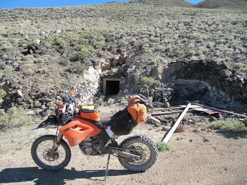
No way I'm going to enter this one! Yikes. A picture from the front of the audit will have to do.
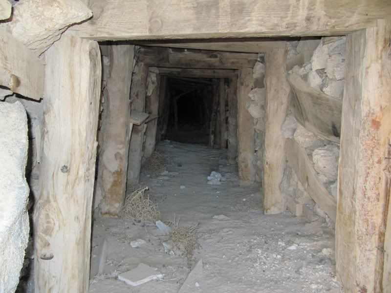
Looking back out in the direction we just came from.
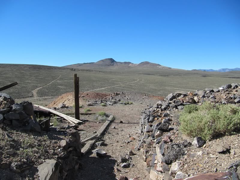
Heading out again. Lot's of rocks! Had to do a little boon docking here, the trail just disappeared into the scrub.
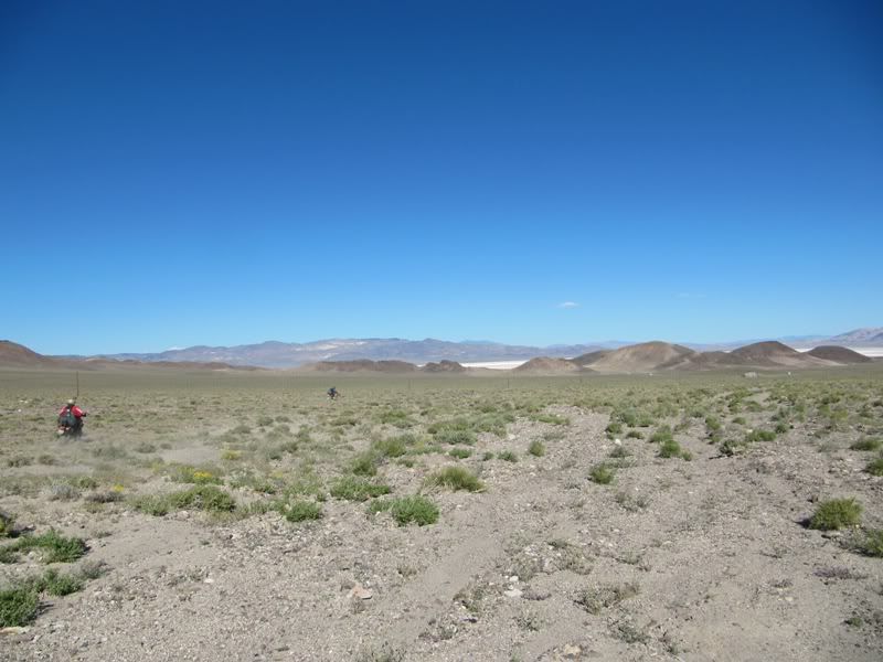
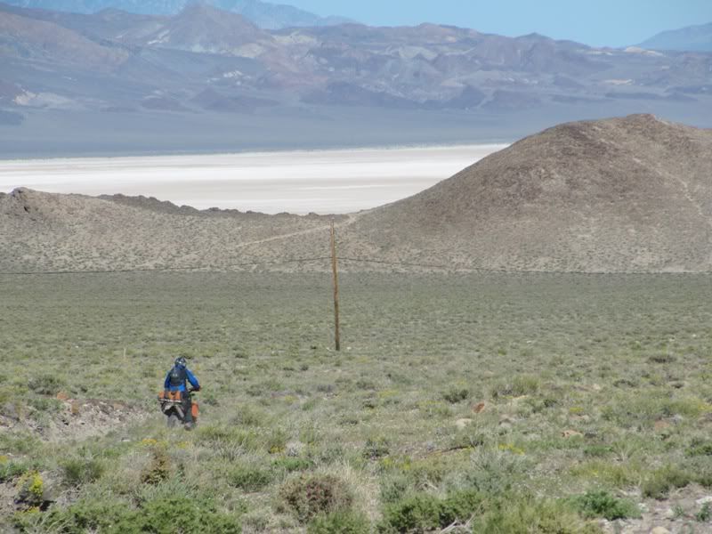
Back on a rocky power line road.
Soon came to another old mining ghost town, this town was called Columbus. Columbus was initially settled in 1865 when a quartz mill was erected here. In 1871 William Troop discovered Borax in the area and soon there were 4 Borax companies operating in the region. in 1875 Columbus reached it's peak with it's population at 1000 people! It had a post office and a newspaper, "The Borax Miner". By 1881 Borax production had drastically declined and only 100 people remained in the town.
(Information taken from the book "Nevada Trails, Western region")
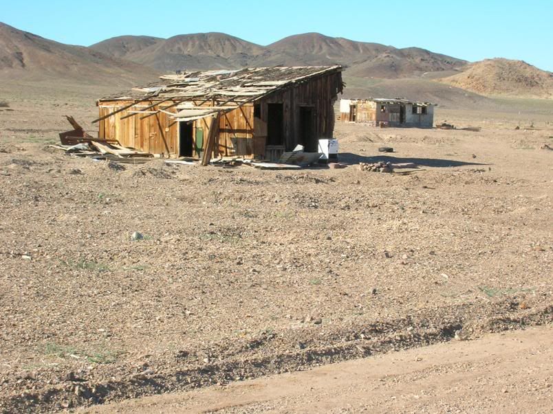
The construction of this building was wild. The entire structure was built using boxed structures.
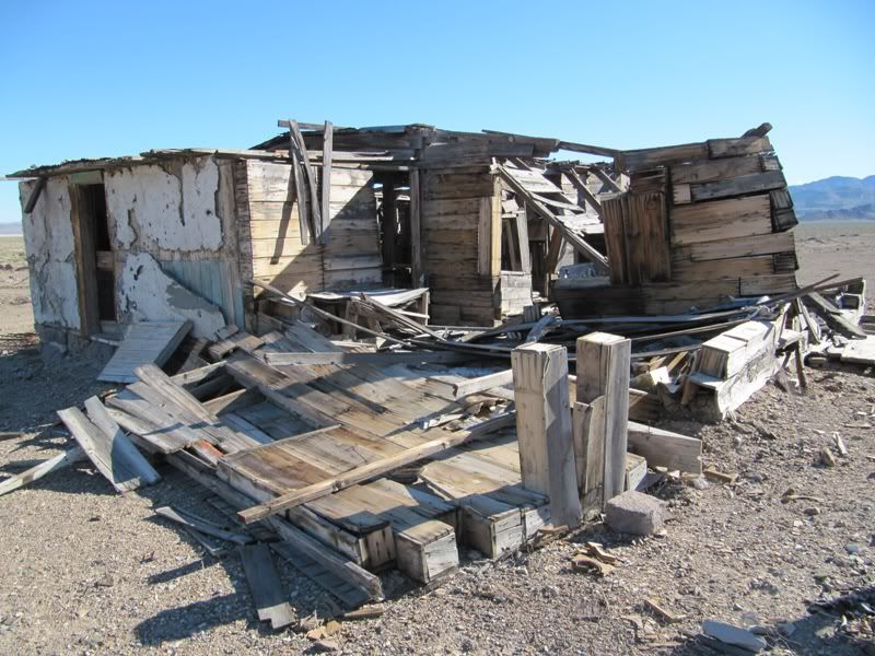
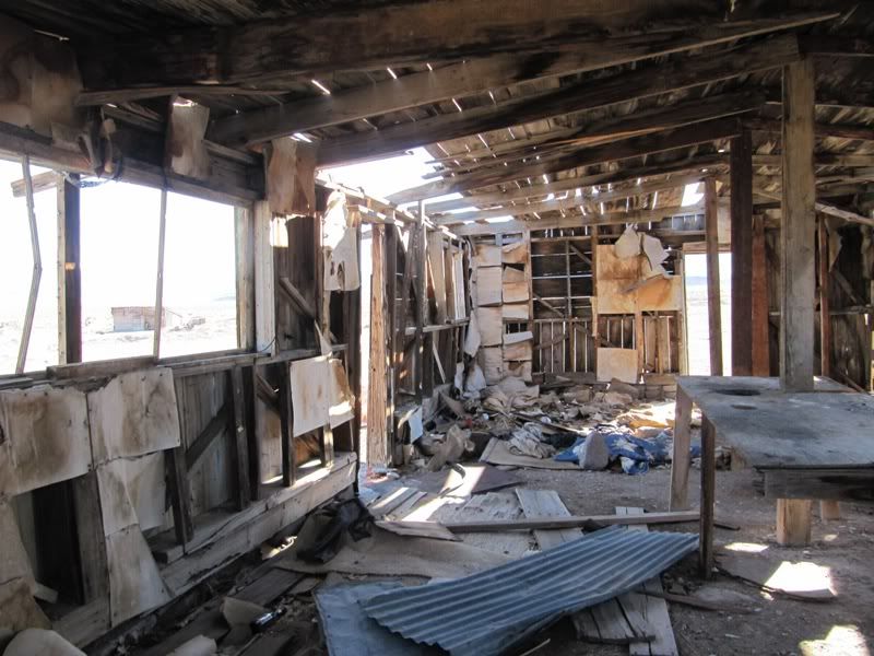
Inside another building.
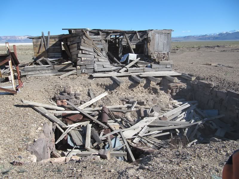
Just outside the building was a open pit. These mines were everywhere in this area, some were fenced and some weren't. Be careful exploring here!

Craig off to check out the Columbus cemetery.
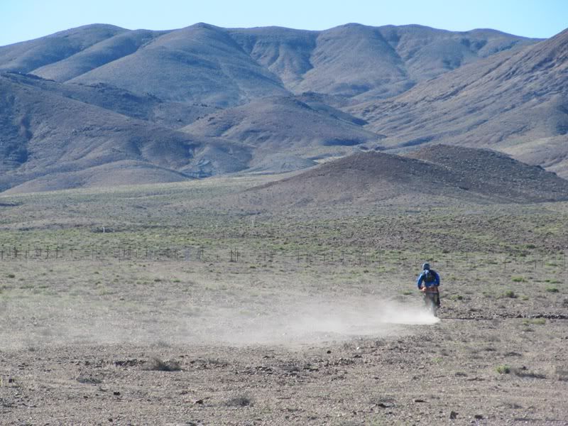
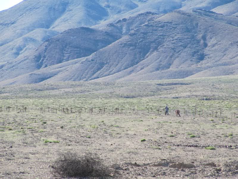
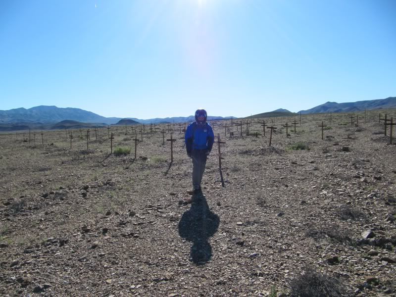
Checking out the cemetery. There were a lot of graves here, but with 1000 people in this town back in it's heyday I guess that's to be expected. The crosses were still standing proud but the paint they were painted with had long since pealed away. The people here are forever lost in time.
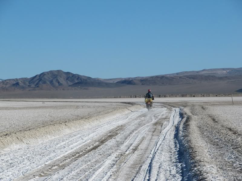
We left Columbus and headed south again. Soon we were hauling across another dry lake bed, this one had lots of Salt! The tires made a weird howling sound while flying across the salt.

Mark heading across the lake road.
Another shot of the lake bed.
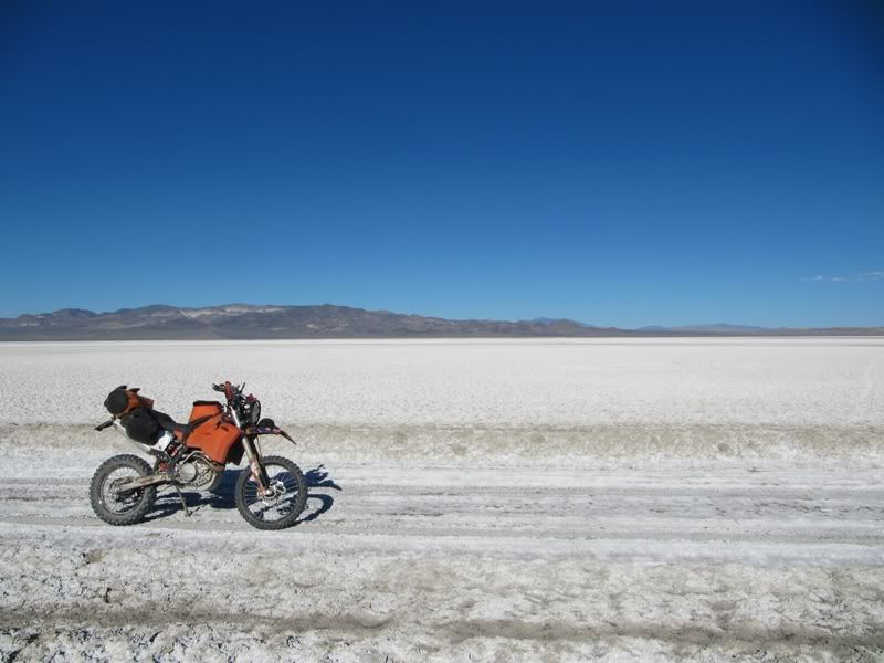
There was suppose to be a fuel station at the other end of this lake bed....Nope! Nothing but wide open desert. We looked at our maps and weighed our options. It was getting late in the day at this point so we decided to head to Tonopah NV for the night.
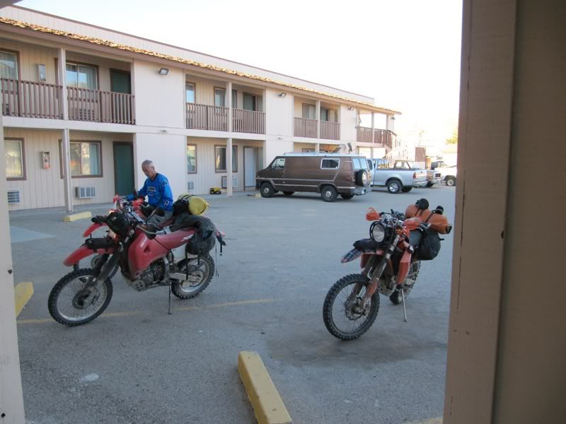
Home sweet home for the night in Tonopah.

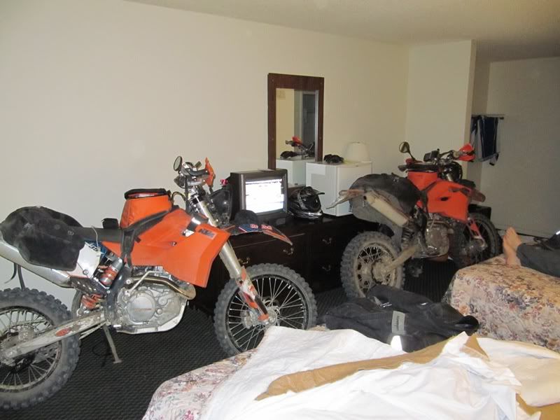
Mark performing the ritual of letting the bike run the carb bowl dry before bringing it inside for the night.
The bikes all tucked in for the night. We grabbed some food at the worst McDonald's that I've ever eaten at and hit the sack. I was going to change filter skins tonight but I get up early every morning so I'll just do it then.
Awesome day of exploring today!
Total miles so far: 622
Hrs on bike: 84.9
LOTS more to come!
Hodakaguy
